
When you work underground, you rely on three things: your training, your team, and your awareness. The problem is that awareness has limits. Rock, machinery, dust, and distance all cut off your line of sight. That is where our RTLS system comes in. It extends our awareness beyond what we can see or hear.
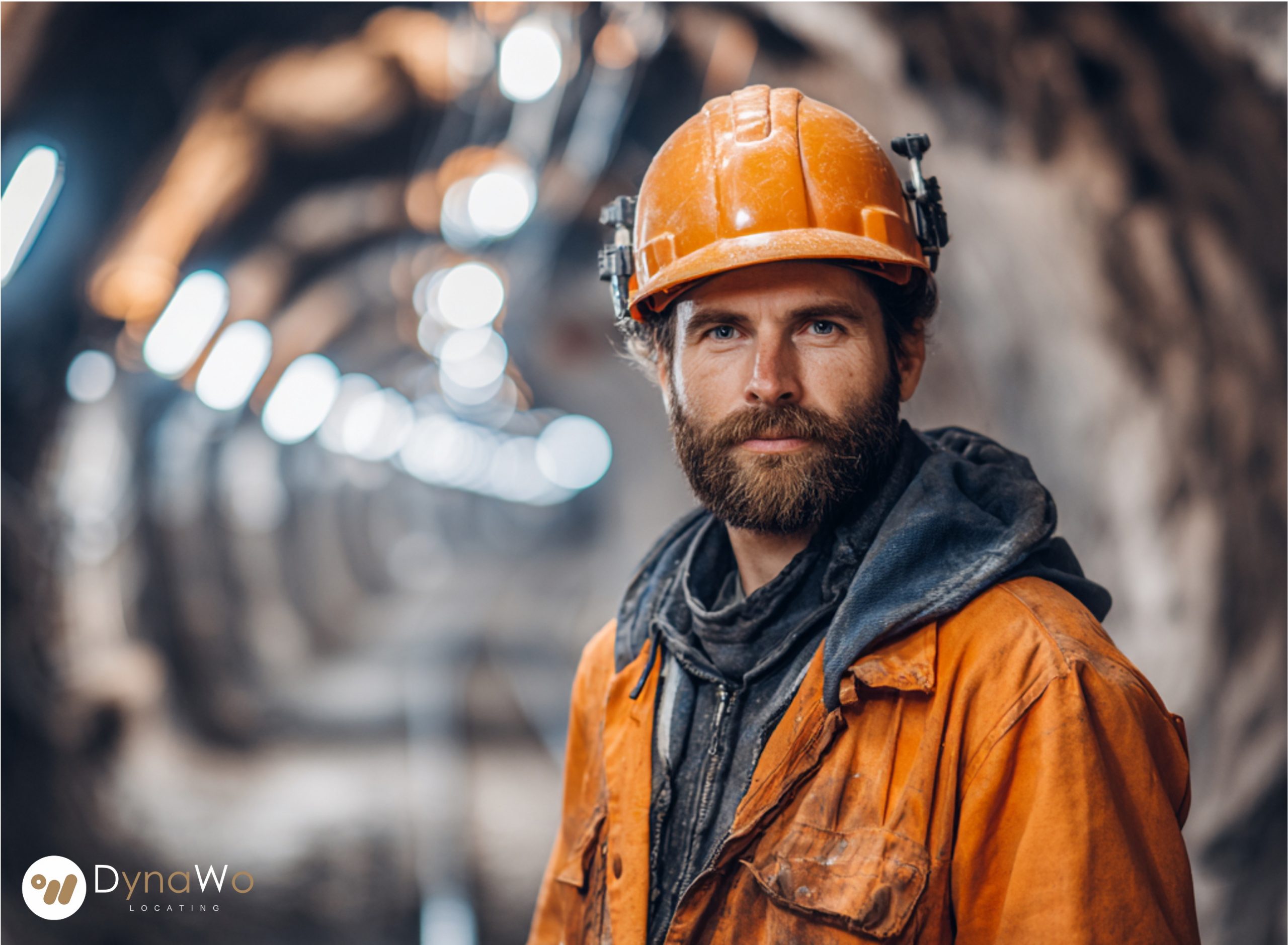
At the start of each shift, I clip a small UWB tag onto my helmet. Inside that tag is ultra-wideband radio and motion sensors. Every few hundred milliseconds, it sends short pulses to the UWB anchors installed along the tunnels and main junctions. Those anchors timestamp the pulses with nanosecond precision. The system then calculates my exact position using time difference of arrival between anchors. The result is live coordinates, often accurate to within a few tens of centimeters, even in tight spaces.
On the surface, our control room sees everyone’s location over a 3D map of the mine. On vehicles underground, operators see workers and other equipment on their cabin screens. If I am walking behind a corner or moving in a narrow crossing, my position shows up before I am visible. The RTLS software can even trigger alerts if a vehicle’s projected path comes too close to a worker tag. It feels like an extra pair of eyes that never blinks.
We also use Bluetooth tags for broader zone awareness. These tags rely on signal strength measurements from Bluetooth gateways. The system can see which level, tunnel section, or work area someone is in, even when UWB anchors are sparse. Bluetooth is lighter on battery, so some tags can run for years. In practice, UWB gives us precision where it matters most, and BLE fills the gaps by providing room-level tracking.
Our tags are more than beacons. Some have panic buttons and fall detection. If I press the button, the control room receives an immediate alarm with my exact UWB location and last movement pattern. If I stop moving for a suspicious amount of time and the inertial sensor shows no activity, the system flags it automatically. That can be the difference between a quick assist and a serious incident.
Geofences are another important layer. The RTLS platform defines virtual boundaries around blast zones, unsupported areas, or sections under maintenance. If my tag crosses into one of those zones without authorization, both I and the control room receive alerts. Because UWB positioning is so accurate, these boundaries can be tight, which reduces false alarms and keeps warnings meaningful.
During emergencies, the technology proves its value most clearly. If part of a tunnel collapses or air quality drops in a section, the system still knows where people were at the last moment before communication might deteriorate. Rescue teams receive a list of tag IDs, positions, and timestamps — not rough guesses. They know who is already in safe zones, who is moving, and who has not moved at all.
Working underground will never be risk-free. But there is a difference between risk you can manage and risk you only hope to avoid. UWB and Bluetooth RTLS help move our work into the first category. They do not replace our judgment, but they back it up with continuous, precise information.
Knowing that someone always knows where I am, and that help can be guided straight to me, changes how it feels to step into the field every day.