
Most companies have maps. Dashboards. Reports. KPIs.
But too often, those tools reflect what people think is happening — not what actually is.
That’s where RTLS changes the game.
From Assumptions to Accuracy
Without real-time location tracking, your operation runs on:
- Verbal handoffs;
- Delayed scanner updates;
- Outdated logs;
- “Gut feelings” from experienced workers.
This approach might work — until it doesn’t.
With RTLS in place, you’re not asking what went wrong after the fact. You’re seeing what’s happening in the moment — and can now act on it before small issues spiral into bigger problems.
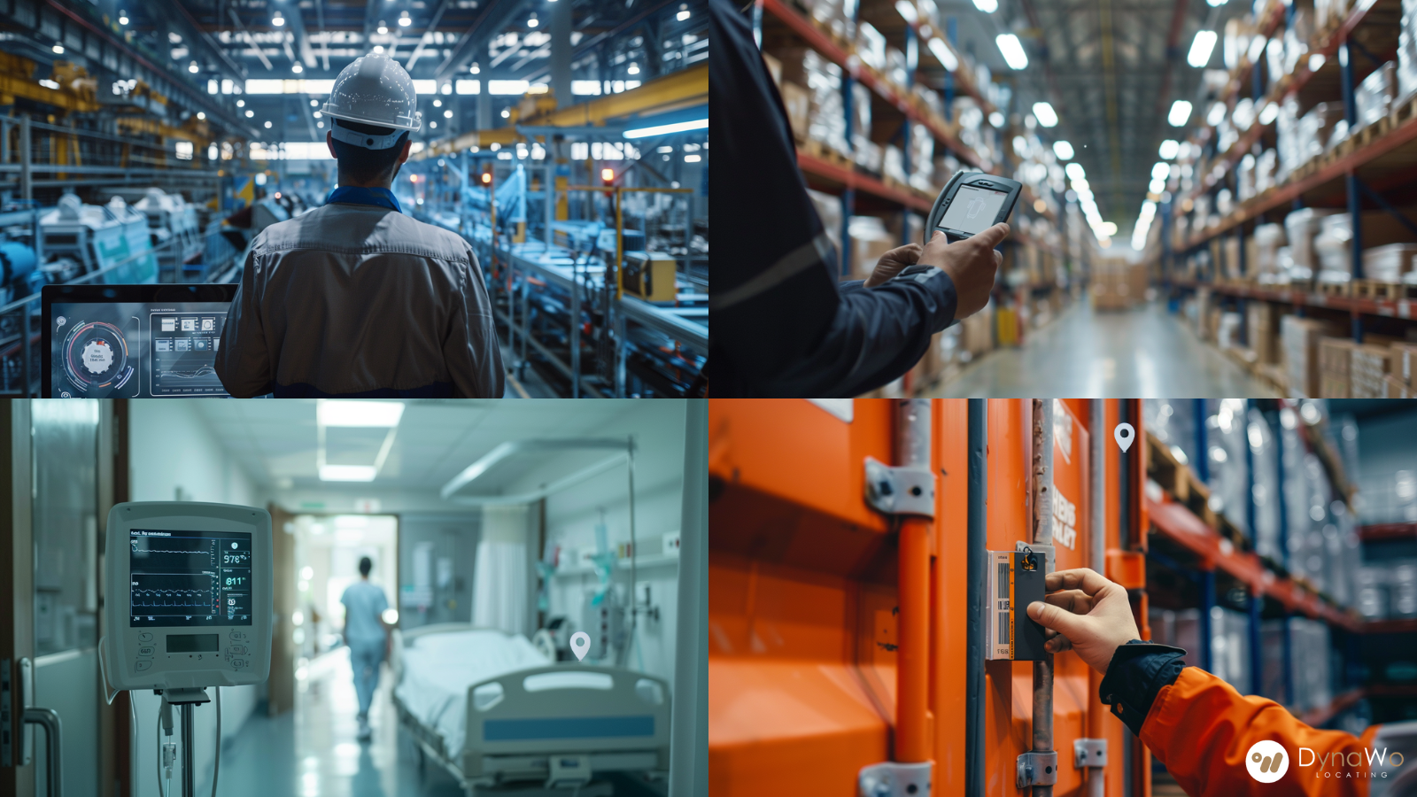
What Real-Time Truth Looks Like
In our deployments, RTLS turns into a living map of the operational territory:
- In warehouses, it shows actual flow paths vs. planned ones — exposing where congestion builds, where forklifts idle, or where detours cause delays. In such instance, RTLS can increase asset utilization rates by 20%, and reduce 40% inventory delays by lower forklift idle time
- In hospitals, it reveals when critical equipment isn’t available where it’s needed — for example, when an IV pump is delayed in reaching a patient bay.
- On factory floors, HeatMap helps recognize low efficient underused zone.
- In agriculture, it tracks herd movement and grazing patterns in real-time — helping farmers spot when animals stray from designated zones or when water/feeding stations are over or underused.
- In research laboratories, it monitors critical equipment usage — for example, tracking chemical reagent, samples, specimen, comply with Good Laboratory Practice (GLP) and other regulations.
- Even in fitness and recreation facilities, it tracks equipment usage and occupancy — showing which machines or studios are idle, which are congested, and how people flow through high-traffic areas. That data informs staffing, scheduling, and safety protocols.
RTLS sheds light on insights that aren’t guesses. They’re facts — drawn from real-world operational data, not assumptions.
Because every improvement starts with knowing the truth:
- You can’t fix what you can’t see.
- You can’t plan if your data is stale.
- You can’t grow if you’re always catching up.
RTLS done right doesn’t just reflect operations — it becomes the foundation for smarter, faster decision-making.
Our RTLS is not just tracking, it’s the live backbone of a digital twin.
At DynaWo, we design systems where the map is the territory: what you see is what’s happening, and what happens next is guided by your decisions.
#RTLS #DigitalTwin #LocationData #OperationalIntelligence #SmartFactory #DynaWo #IoT