
You don’t realize you have a visibility problem — until RTLS shows you.
That’s the moment many of our customers face: a system goes live, and suddenly, all the silent delays, the forgotten wait times, and the in-between moments come into view.
They were always there. But no one had the data to prove it.
Real-World Examples:
- In a hospital ward, staff assumed they were spending enough time with patients. But RTLS revealed that 20% of each shift was lost to manually locating shared equipment.
- On a factory floor, operators reported that loading times were fine. But the data showed consistent bottlenecks at one docking bay — adding up to hours lost each week.
- In a distribution center, outbound goods were delayed by “unknown” issues – until RTLS heatmaps revealed route overlaps and idle zones caused by poor layout.
These aren’t failures of people. They’re failures of visibility.
What DynaWo Does Differently:
We don’t just ask, “Where’s the tag?” — we ask:
- What delays aren’t being measured?
- What processes rely on guesswork?
- What could change if the team had real-time operational memory?
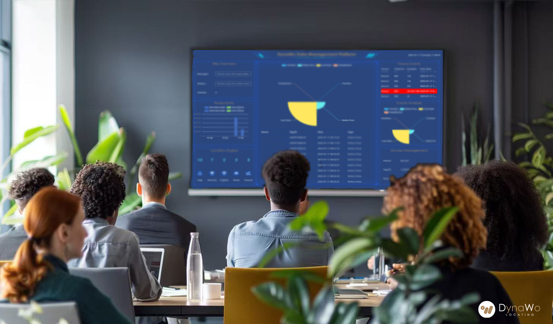
We design RTLS to be a mirror — not just a map. A system that:
- Surfaces the true cost of invisible friction and reveals room for improvement;
- Helps teams act faster and make informed decisions, with live, comprehensive data;
- Gives leadership a grounded, real-time view of operations, not just reports.
DynaWo’s hybrid RTLS ecosystem combines multiple locating technologies – not layered for redundancy, but orchestrated to match each site’s actual constraints. Each of the systems (UWB, BLE, etc.) comes with trade-offs. So we design from the ground up:
- Hospital staff gained instant visibility into shared assets after BLE tags were applied to mobile equipment and zone-level monitoring was implemented – allowing more of their shifts to be spent on patient care.
- Loading delays became visible after UWB was deployed to track pallet movement and BLE chokepoints flagged frequent stalls, giving managers visibility into spatial mismatches and clarity to redesign layout flow.
- Outbound flow was clarified after real-time tracking and geofence-based analysis revealed overlapping routes and staging inefficiencies, giving managers a clearer spatial view to optimize form.
Across all cases, RTLS didn’t just surface data – it held up a mirror. It revealed not just location but also time, motion, and opportunity.
Because once you see the real picture, the path to fixing it becomes clear.
Let’s talk about what you might be missing — and how to surface it.
#DynaWo #RTLS #SmartTracking #OperationalVisibility #ProcessOptimization #DigitalMirror #RealTimeData #IndustrialEfficiency