
GPS is the global standard for outdoor positioning, providing location data through satellite signals that calculate time-of-flight from multiple orbiting sources. Outdoor accuracy typically ranges from 2 to 10 meters, improved through differential corrections and multi-band receivers.
In RTLS ecosystems, GPS plays a complementary role to indoor technologies. Vehicles, containers, mobile robots, and field personnel can be tracked continuously outdoors using GPS, then transition to indoor tracking with UWB, BLE, or Wi-Fi. The middleware merges these streams into unified asset histories, enabling seamless global tracking.
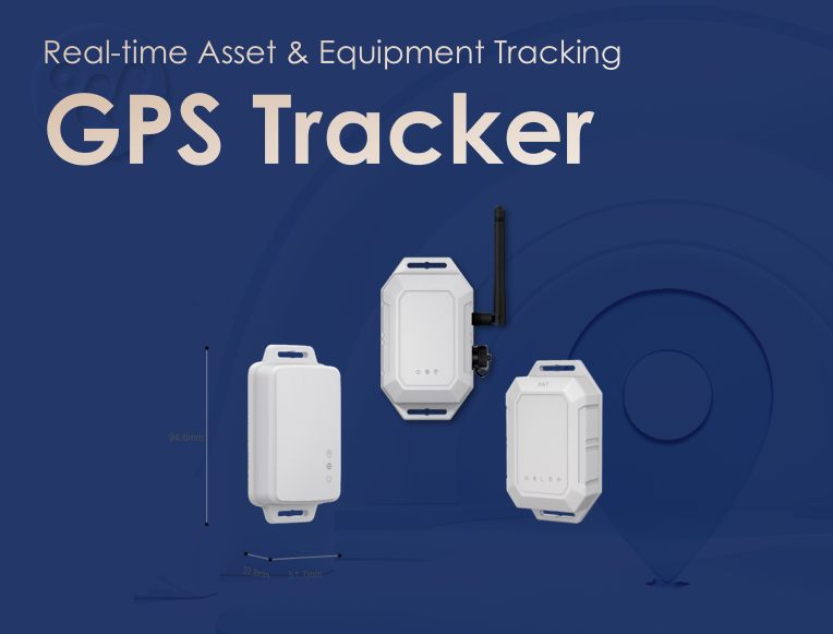
Modern GPS tags support low-power modes and maintain periodic updates suitable for long-term deployments. Assisted GPS (A-GPS) and dual-frequency positioning improve performance in urban or partially obstructed environments. For logistics, supply chain visibility, fleet operations, and yard management, GPS remains an essential component of real-time tracking.
GPS cannot penetrate buildings, which limits its effectiveness for indoor RTLS. However, when integrated into hybrid architectures, it provides irreplaceable coverage across large geographical areas.
Ultimately, GPS fills a critical gap in any RTLS strategy. While indoor technologies deliver the precision needed within facilities, GPS ensures uninterrupted visibility the moment assets move outdoors. By blending satellite-based positioning with UWB, BLE, Wi-Fi, and other indoor systems, organizations gain a continuous, end-to-end view of operations—whether assets are deep inside a warehouse or traveling across a continent. This hybrid approach turns GPS from a standalone navigation tool into a foundational pillar of holistic, real-world tracking.